These criminals evolve constantly. So do we. We build new tools, use smarter technology, and work with a growing network of partners to stop them — before, during, and after the crime.
That's the work of the Joint Unit for Waste Crime (JUWC). This is what we achieved in 2025–26.
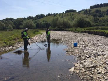
A year in numbers
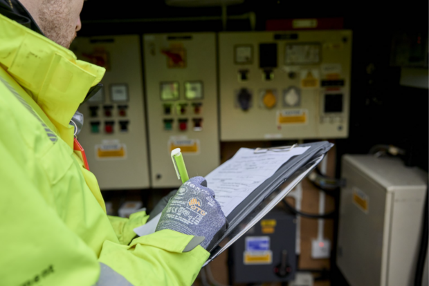
Our 14 full-time crime officers didn't just process cases. They went after criminal networks.
- Led 23 operations, supported a further 38
- Attended 59 days of action across the country
- Delivered 111 disruptions
- Supported 13 arrests by partners
- Conducted 17 interviews under caution
- Seized 8 vehicles
Each number represents a network disrupted, a community protected, a legitimate business given a fairer chance.
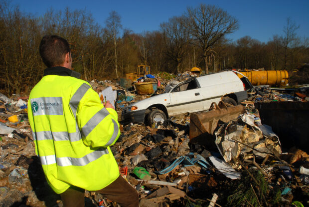
A family empire dismantled
For over a decade, one family ran what looked like a waste business. It wasn't. It was an unlawful landfill, scrap metal operation, and waste transfer station — a hostile, deeply entrenched site that had defied the Environment Agency for years.
We didn't try to fine our way out of it. We set out to make the criminal business model impossible to survive.
Working with police, HMRC, the Insolvency Service, local councils, and DVSA, we built a case that went far beyond waste offences. The result: 23 heavy goods vehicles seized and destroyed, the family removed from their home on site, assets recovered — including land transferred between family members to avoid accountability. A £50,000 Bounce Back Loan fraudulently obtained is being recovered. Proceeds of Crime Act proceedings continue.
A problem that persisted for more than a decade is gone. That's exactly what the JUWC was built to do.
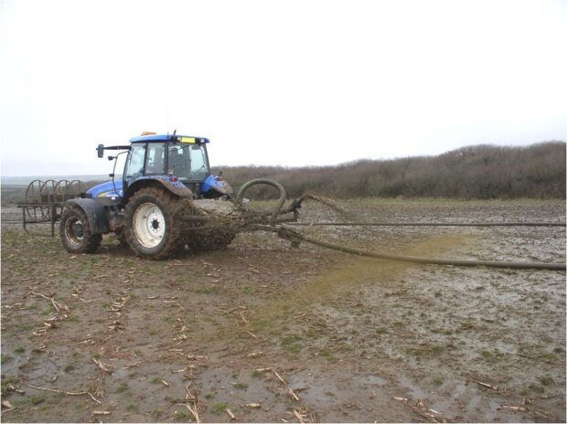
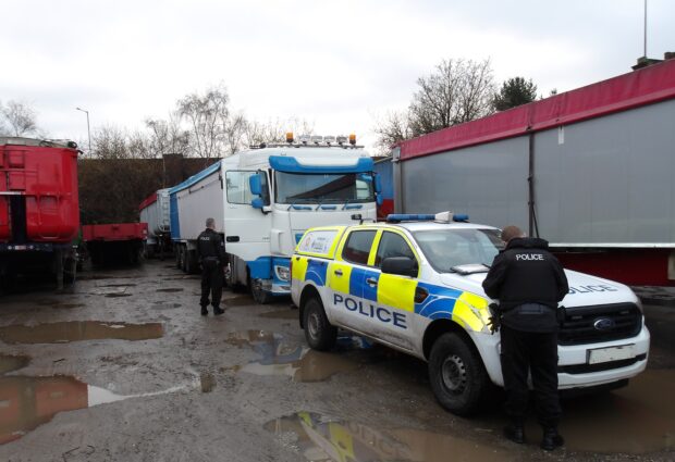
On the road
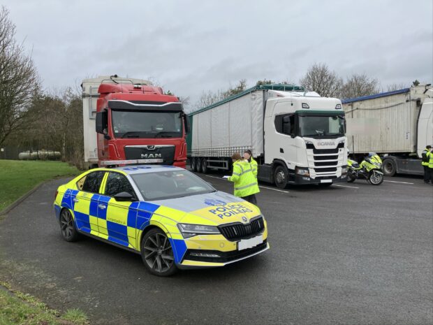
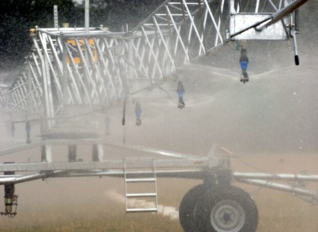
A significant part of our work happens in real time, on roadsides across the country.
In Kent, a multi-agency day of action stopped 14 vehicles, led to one arrest, and placed multiple drivers under investigation. On the Scottish borders, our officers joined Highways England, SEPA, and Police Scotland to check waste-carrying vehicles crossing in both directions.
In Lancashire, working alongside the National Crime Agency, our officers joined the arrest of a man connected to multiple sites of large-scale illegal dumping. His vehicle was seized. A prosecution is pending.
These operations matter. They're visible. They disrupt criminal routines. And they send a clear message: the roads are not safe ground for waste criminals.
Disruption is as powerful as prosecution
A prosecution can take years. While courts grind through the process, organised crime groups keep operating and keep profiting. That's why disruption is central to everything we do.
Operation 'B' targeted an organised crime group running illegal waste sites and large-scale dumping. We deregistered their waste carrier licences, seized vehicles, and worked with police to pursue individuals for other offences. The group's ability to function collapsed. They are now formally recorded as dismantled.
Operation 'C' focused on one individual running permitted waste sites across England while engaged in fraud and money laundering. We secured an account freezing order for £600,000, suspended permits, and removed waste exemptions across multiple sites. That individual is no longer active in the waste industry.
Financial pressure, regulatory action, and genuine partnership - applied consistently -can achieve things that criminal prosecution alone cannot.
A growing threat. A growing response.
Organised crime groups are becoming harder to spot. They increasingly mimic legitimate waste businesses, making detection harder and harm greater. Demand to target the highest-risk groups has grown every year.
We've grown to meet it. This year, we expanded the JUWC from 10 to 18 full-time staff, with the full team in post from March 2026. Two officers qualified as drone pilots - giving us the ability to detect illegal sites and gather evidence from the air, reaching places that used to stay hidden.
In September, we gave evidence to the House of Lords Environment and Climate Change Committee's inquiry into serious and organised waste crime. The Committee's findings are now being considered at the highest levels of government.
What this year proves
Waste crime is serious crime. It causes serious harm. It deserves a serious response.
The environment is worth protecting. Communities bearing the burden of illegal dumping deserve better. And legitimate businesses being undercut by criminals deserve a level playing field.
That's what the JUWC is here for.
Read our end of year report:
If you have information about illegal activity in the waste sector, report it anonymously to Crimestoppers. In England or Scotland, contact the Environment Agency or SEPA incident hotline on 0800 80 70 60 - available 24 hours a day.
]]>