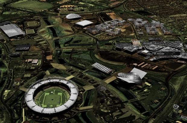
Laser surveys light up open data

For the last 17 years the Environment Agency has used lasers to map and scan the English landscape from above to help us carry out work such as flood modelling and tracking changing coastal habitats. This month, for the first …
