
Uncovering England’s landscape by 2020
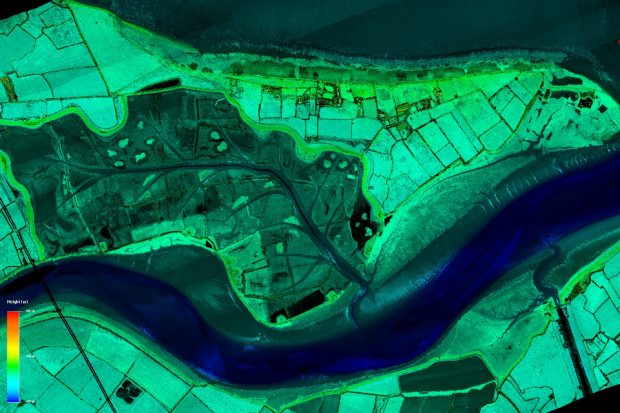
...or contact us at geomatics_data@environment-agency.gov.uk if you have any feedback or suggestions. Lidar imagery of London. Mapping the country in this way will help us better understand flood risk and...
...or contact us at geomatics_data@environment-agency.gov.uk if you have any feedback or suggestions. Lidar imagery of London. Mapping the country in this way will help us better understand flood risk and...