
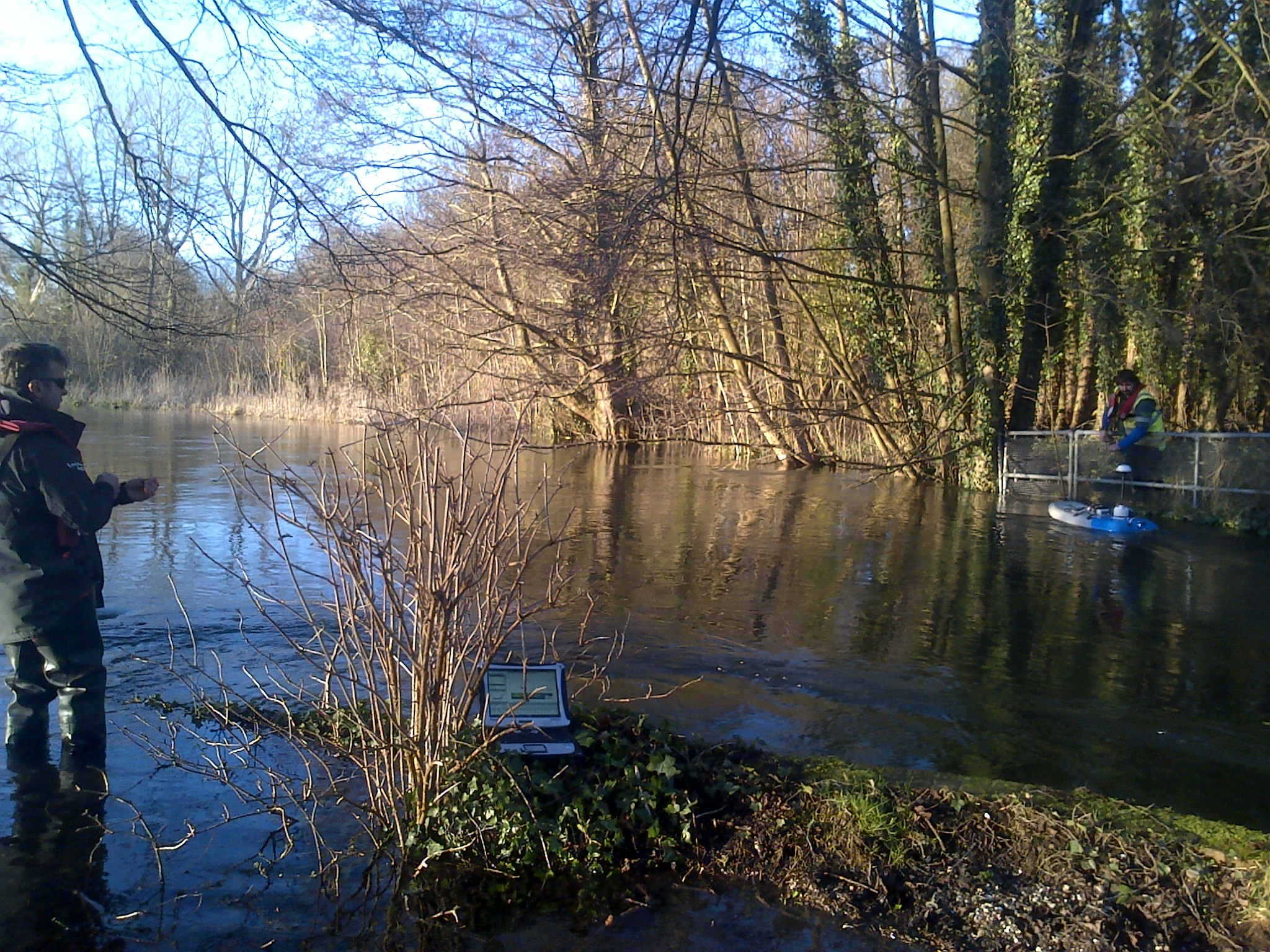
I know I’m lucky. I’ve got a great job. Every day I travel across Hampshire and the Isle of Wight, measuring water levels and flows in rivers, and rainfall amounts and groundwater levels in boreholes and wells. I’ve got really fond memories of this area because I used to holiday here as a child, so going over on the ferry to the island still feels like I’m going on holiday rather than going to work!
We have more than 600 sites that we monitor across our area, with more than 130 sending data back to our office automatically by phone. The monitoring equipment takes a reading every 15 minutes and dial in once a day to download any new data. The data we collect – not just in my part of the world but all over England – helps us make important decisions about how much water we can allow to be abstracted without impacting upon local rivers and wildlife. If we need to look at any data in between the dial in then we can get the data back with a click of the mouse. A lot of my time is spent looking at this data remotely and checking that it’s all working OK.
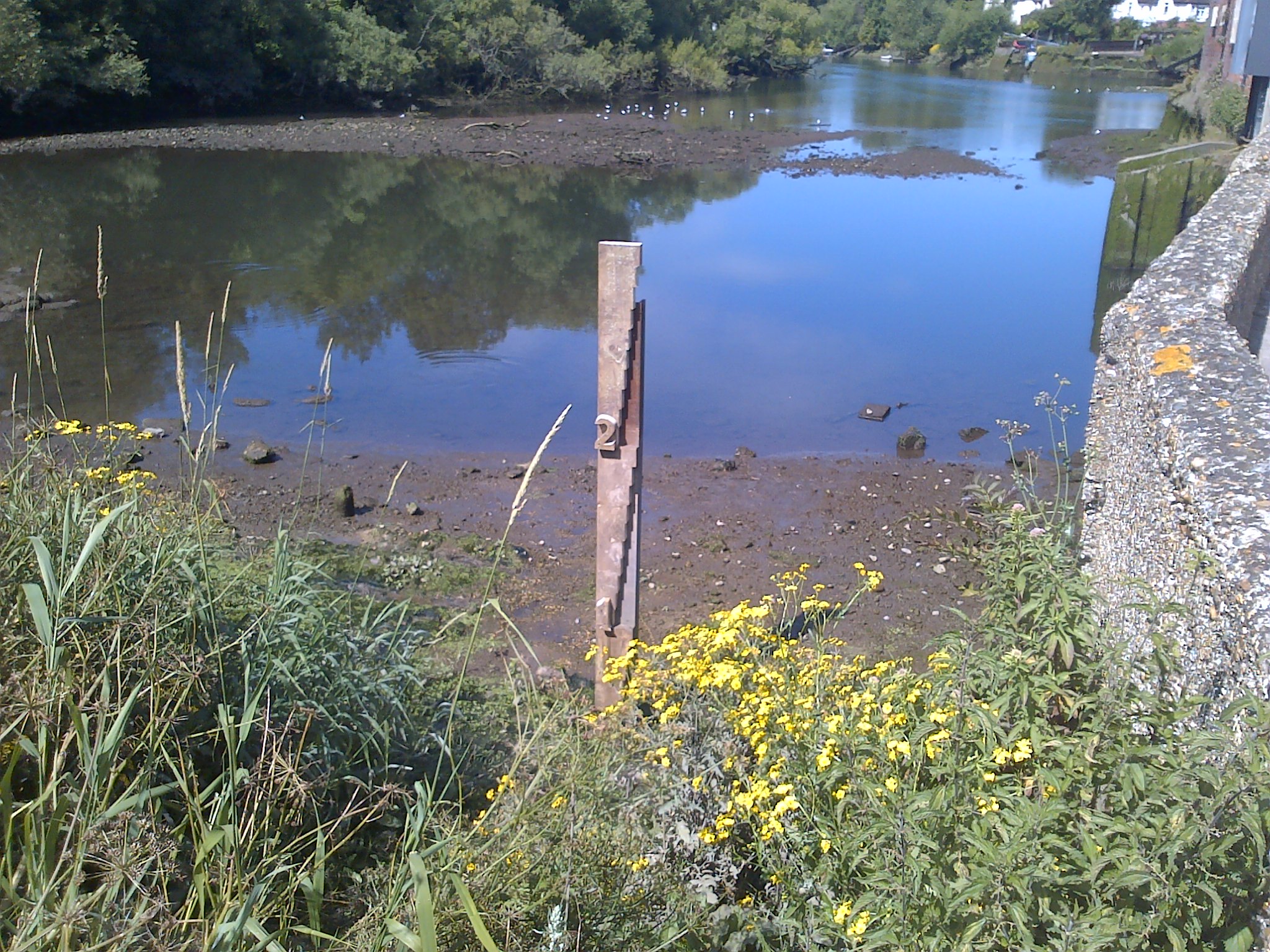
Some sites we only visit when the groundwater levels are at their highest or lowest so that we have an idea of how much water is in the ground. This data fills in the gaps between the sites we get back more regularly. This is really important because Hampshire and Isle of Wight don’t have surface water reservoirs that supply drinking water, so we rely on the groundwater instead.
We have some beautiful sites to visit. One of them is in the grounds of Carisbrooke Castle on the Island. This well contributes to a national picture of water resources across the country, including seasonal, annual and longer-term variations. It was dug nearly a thousand years ago to secure their water supply, and we’ve been using it to measure water levels for the Island’s water supply every month since 1977. The chalk below Carisbrooke is actually the largest source of groundwater for the Isle of Wight. The well is 49 metres deep and was originally dug out by hand. Amazing.
An important part of the Environment Agency’s job is to balance the water needs of people, business and the environment. By measuring the amount of water, either in the ground or in the river, I’m helping the Environment Agency make the right decisions about how much water can be abstracted by consumers, businesses and farmers whilst balancing the needs of our beautiful rivers and wildlife. If people take too much, our natural environment can suffer. There was an unfortunate example of this the other day. We had some vandalism on a water control structure which meant that a section of river was drained. The water level dropped so quickly that it set off an alarm at one of our stations and a team was sent out to close the structure back up and to help get water back in to the river before wildlife was affected.
So next time you see me at a well, measuring the flow or with a colleague doing some surveying, come and say hello, and remember how precious our water is.
You can see our weekly groundwater level graphs on the GOV.UK website at: https://www.gov.uk/government/publications/weekly-water-levels-hampshire-west-sussex-and-isle-of-wight and https://www.gov.uk/government/statistics/hampshire-groundwater.
We also publish a national water situation report which can be found on the GOV.UK website at: https://www.gov.uk/government/collections/water-situation-reports-for-england
Leave a comment