Enhancing flood and coastal erosion risk digital services with the latest data and mapping
Posted by:
Julie Foley, Director of Flood Risk Strategy & National Adaptation at the Environment Agency, Posted on:
-
Categories:
Environment Agency, Flood, Flood Mapping, Flood Planning, Uncategorized
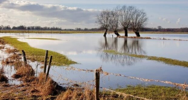
The Environment Agency is transforming its understanding of flood and coastal erosion risk in England. Over the past four years, we’ve been working with local authorities to develop a new National Flood Risk Assessment (NaFRA) and a new National …