Using data to improve the environment

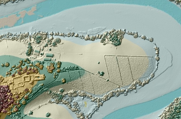
LIDAR survey showing Sharpham Vineyard, Totnes We live in a data rich world. As an engineer I know the power of data in the design and implementation of new urban...

LIDAR survey showing Sharpham Vineyard, Totnes We live in a data rich world. As an engineer I know the power of data in the design and implementation of new urban...

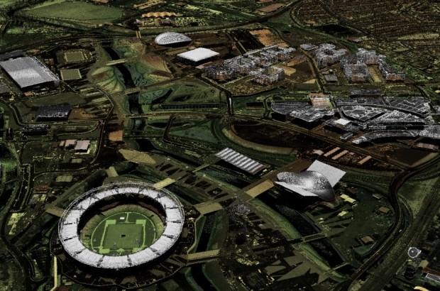
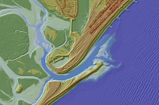
For the last 17 years the Environment Agency has used lasers to map and scan the English landscape from above to help us carry out work such as flood modelling and tracking changing coastal habitats. This month, for the first …

For the past 17 years we have been capturing LIDAR (Light Detection & Ranging) data in England. LIDAR uses a laser to scan and map the landscape from above and is widely considered to be the best method for collecting …